Schiaparelli's camera sequence

Date: 12 October 2016
Satellite: Schiaparelli
Copyright: background map: NASA/JPL/MRO; simulation: ESA
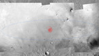
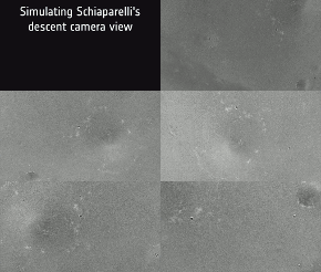
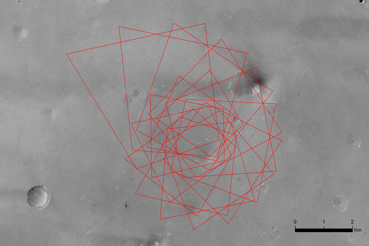
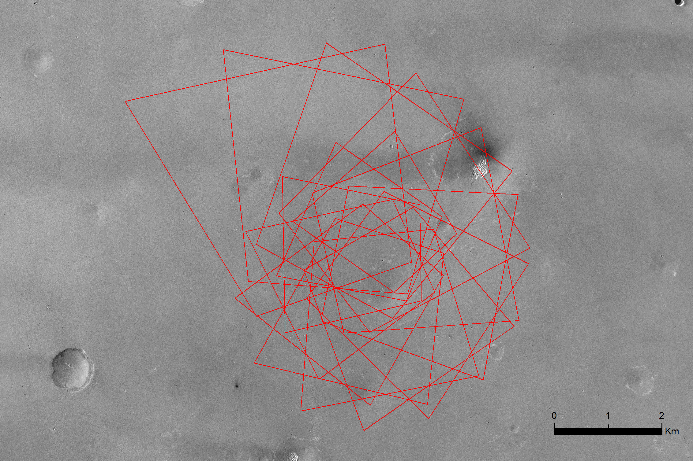
In this simulation, the 'footprints' of Schiaparelli's 15 descent camera images follow a roughly clockwise order, as seen in this view from larger to smaller fields-of-view. In this simulated view, the first image is taken at about 3 km altitude and covers roughly 17 square km, while the final image is taken at about 1.5 km and covers 4.6 square km. The images are taken every 1.5 s.
The corresponding individual images can be seen here.
The scene captured by each image on 19 October will depend on the actual altitude, but also due to the movement and rotation of Schiaparelli during the six-minute descent through the atmosphere.
The view is generated from a NASA MRO/CTX image of the centre of the Schiaparelli landing ellipse.
Last Update: 1 September 2019